NSERC CRD DROUGHT PROJECT
Study Lakes
The eight selected lakes + ELA Lake 442 are located in the southern sub-watersheds of Winnipeg River and Lake of the Woods, and in the northern sub-watersheds of English River and Lac Seul and form a transect from west to east across the central WRDB.

Location of research lakes. Red arrows indicate water flow direction and strength. Dotted line indicates boundary between flow from the north and flow from the south.
Table 1. Lake characteristics. WA:SA = watershed area:surface area, SS = surface samples, GC = gravity core retrieved from deep central basin.
Lake |
Sub-watershed |
Lake order |
Lat |
Long |
Size (ha) |
Max depth (m) |
Mean depth (m) |
WA:SA |
No. SS |
No. |
Atlantic |
Lac-Seul |
1st |
50 14 39 |
91 27 27 |
54 |
30 |
12 |
7.5 |
42 |
2 |
Gall |
Lac-Seul |
1st |
50 11 01 |
91 41 56 |
18 |
15 |
8.5 |
5.3 |
34 |
2 |
Pluto |
Lac-Seul |
2nd |
49 39 48 |
91 39 14 |
160 |
24 |
14 |
4.8 |
39 |
0 |
L.Raleigh |
Lac-Seul |
1st |
49 27 13 |
91 53 46 |
74 |
19 |
7 |
2.8 |
46 |
2 |
Troutfly |
Lac-Seul |
2nd |
49 51 08 |
92 26 56 |
200 |
32 |
12 |
5.0 |
37 |
0 |
Dixie |
English R. |
1st |
49 49 58 |
93 56 56 |
20 |
19 |
9 |
3.0 |
31 |
2 |
Worth |
Winnipeg R |
2nd |
50 00 10 |
94 45 53 |
115 |
29 |
10 |
3.3 |
76 |
1 |
Meekin |
Winnipeg R |
1st |
49 49 04 |
94 46 16 |
75 |
15 |
7.2 |
2.7 |
30 |
1 |
Lake 442 |
Lake of the Woods |
2nd |
49 46 30 |
93 49 05 |
16 |
18 |
9 |
12.0 |
59 |
2 |
SOUTHERN SUB-WATERSHEDS
Winnipeg River sub-watershed: Worth and Meekin lakes.


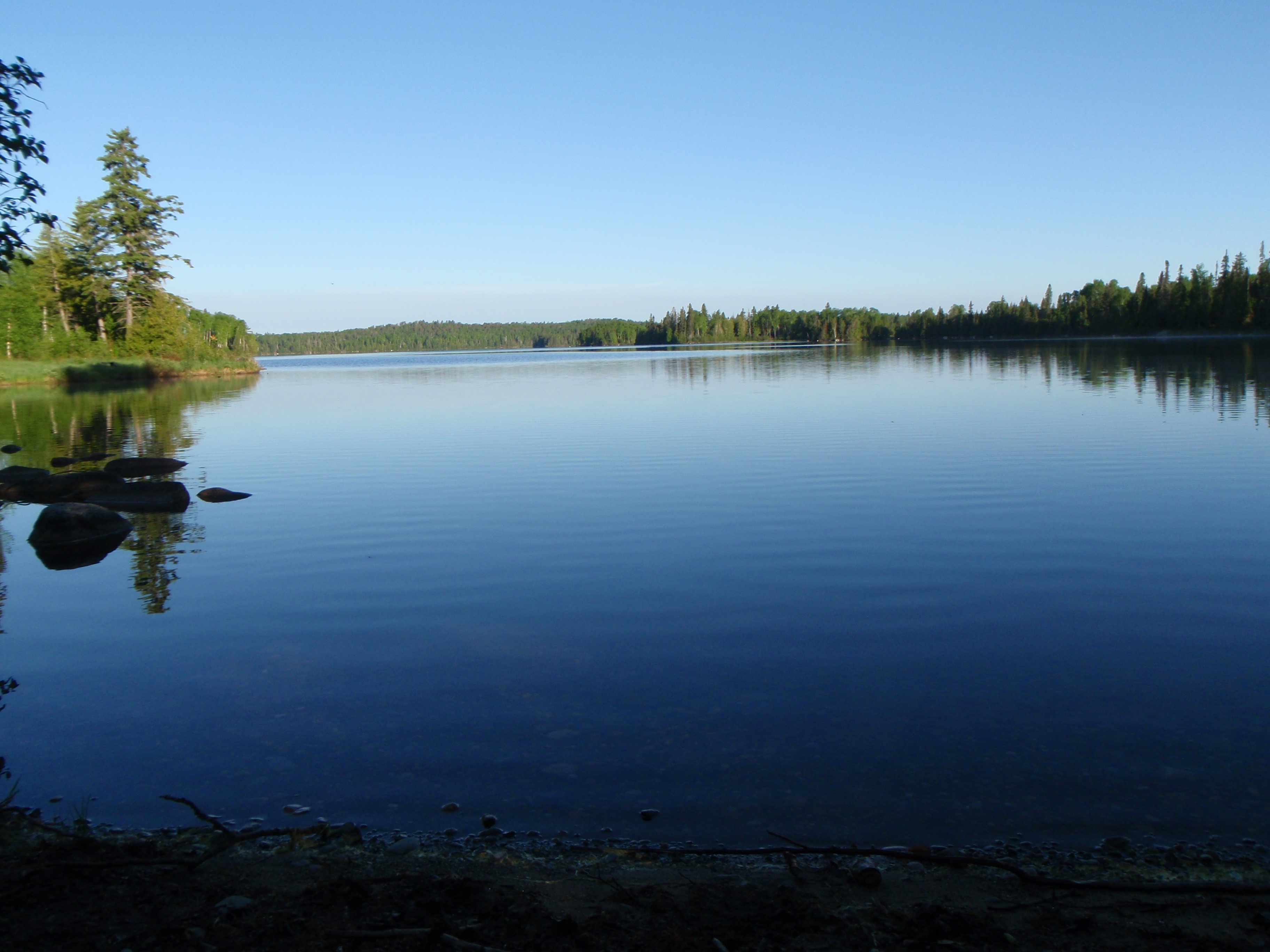
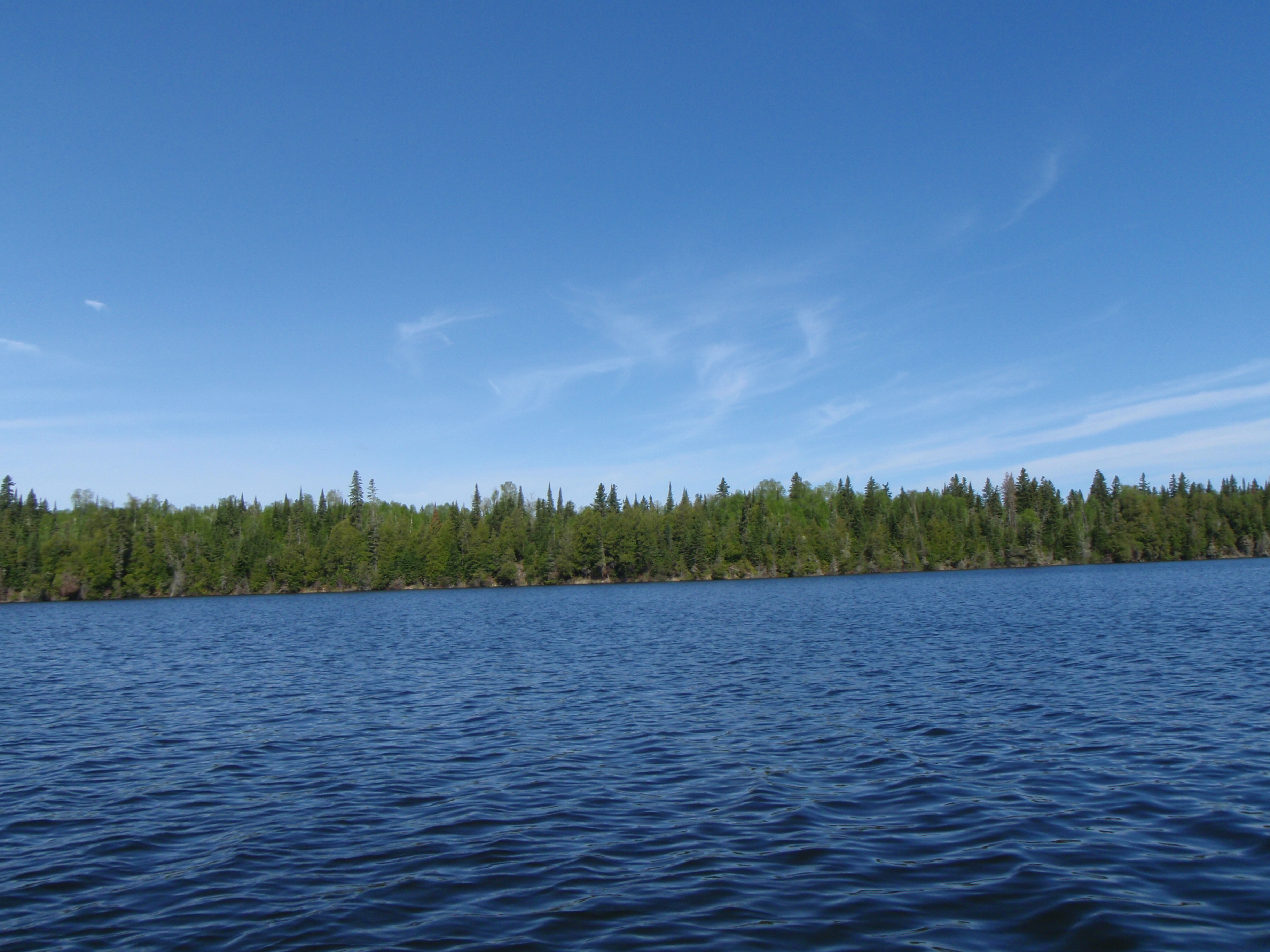
Worth Lake (Photo: Brian Cumming) Meekin Lake (Photo: Brian Cumming)
Lake of the Woods: Experimental Lakes Area Lake 442 (no photo at this time)
NORTHERN SUB-WATERSHEDS
English River and Lac-Seul


Dixie Lake (Photo: Brian Cumming) Troutfly Lake (Photo: Brian Cumming)
Dixie and Troutfly lakes are the furthest west of the northern lakes.


Pluto Lake (Photo: Brian Cumming) Little RaleighLake (Photo: Brian Cumming)
Pluto and Little Raleigh lakes are to the east, just north of the boundary between the northern and southern sub-watersheds.


Atlantic Lake (Photo: Brian Cumming) Gall Lake (Photo: Brian Cumming)
Atlantic and Gall lakes are the most northern lakes.
Field Work


Winch set-up for sediment coring Collection of sediment cores
Field trip # 1 (end of May – June 18th 2008) Bathymetric mapping and collection of surface samples: At the end of May, 2008 a crew of four personnel (Dr. Brian Cumming, masters student Melanie Kingsbury, and two undergraduate students: Claire Broughton & Lindsay Brager) headed to the Kenora region in northwestern Ontario. Lake reconnaissance in this region resulted in the selection of three lakes from which a series of lake surface sediment samples were collected using a modified K-B corer (Glew 1989) (Table 1, Fig. 1 in CRD annual report). Detailed geo-referenced bathymetric maps (Fig. 2 in CRD annual report) were generated using Bathymetric Automated Survey System ver 2.4. Lake reconnaissance in the more eastern region of the WRDB (Dryden/Sioux Lookout) resulted in the selection of five lakes from which a series of lake surface sediment samples were collected (Table 1, Fig. 1 in CRD annual report). Detailed geo-referenced bathymetric maps were also generated for these lakes. GPS coordinates for the location of each of the surface sediment samples (Fig. 2 in CRD annual report) were taken with a Garmin handheld GPS unit using WGS84 (NAD83) horizontal datum with an estimated accuracy of 15-20 m. For most lakes gravity cores using a modified K-B corer (Glew 1989) were collected from the deep central basin (Table 1 in CRD annual report). Cores were sectioned into 0.25 cm intervals on shore, maintained at cool temperatures and then stored at 4° C at Queen’s University upon return to Kingston.
Depth profiles of limnological variables (pH, temperature, specific conductivity and dissolved oxygen) were collected from each of the lakes using a YSI 650 Multi-parameter Display System (650 MDS) with a 600XL probe. Parameters were recorded at 1 meter intervals to a depth of 10-12 meters at which point measurements were made every 2 meters to the bottom. Secchi depth was also recorded using a 12 in. diameter Secchi disk attached to a rope marked with 1-meter intervals.


Winch set-up on boat for sediment coring Boat set-up for bathymetric mapping
Field Trip # 2 (7-23 July, 2008) Seismic reflection data collection: A crew of 3 personnel (project collaborator Dr. Mike Lewis, project volunteer Dr. Thane Anderson and MSc student Melanie Kingsbury) collected seismic reflection data of the 8 lakes selected during field trip # 1. The general objective of field trip # 2 was to acquire information about the thickness and distribution of sediments in the 8 selected lakes. The sediment of interest is the upper part of that which accumulated since the lakes were isolated from the last ice cover or glacial Lake Agassiz (Fig. 3 in CRD annual report).
A Knudsen 320M marine sounder with 200 kHz and 28 kHz transducers was used to map the lakefloor. Lakefloor and sub-bottom acoustic reflections were recorded graphically on thermal recording paper. Timelines were marked every 20 seconds with geographic coordinates determined by an onboard global positioning system (GPS) receiver. These coordinates provide the position at which a core could be recovered to sample sediments of interest imaged in the sounding record. An onboard Trimble GPS receiver was set to log geographic position coordinates at 5-second intervals on the WGS84 (NAD83) horizontal datum with an estimated accuracy of 15-20 m. Sub-bottom profiling transects (Fig. 2 in CRD annual report) were generally run twice across areas of moderate gradient from shallow to deep water or vice versa in each lake using a 14-foot Starcraft aluminum boat powered by a 4.5 hp Mercury outboard motor.
Depth profiles of limnological variables (pH, temperature, specific conductivity and dissolved oxygen) were collected from each of the lakes using the same methods as in field trip # 1. Secchi depth was recorded. In addition, water was collected using an integrated water sampler provided by the Ontario Ministry of the Environment. A water sample was collected from the top 5 meters of the water column. Two litres were collected from each lake for water analysis. One litre of the water was filtered using 0.45µm mesh, and the other kept as a whole water sample. The water samples were kept in a refrigerator or on ice for the duration of the trip in Nalgene or PET containers. Upon return to Kingston, the samples were sent to Ontario Ministry of the Environment Dorset Environmental Science Centre in Dorset, ON where they were analyzed for all the major anions and cations, phosphorous, nitrogen, silica, and dissolved organic carbon. A detailed report of the field work and findings was produced (see Lewis et al. 2008).